
 IT
 EN
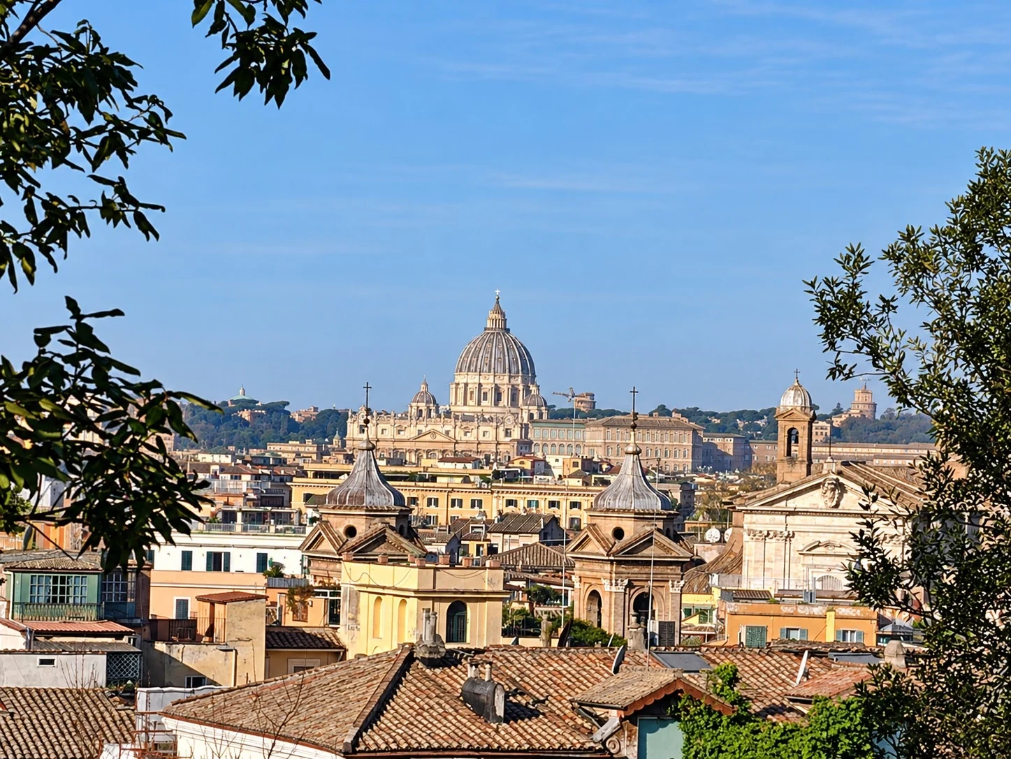
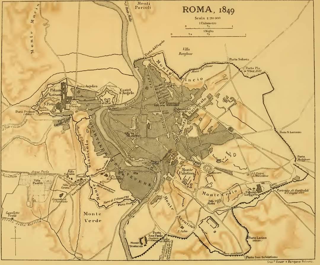
The main milestones in urban planning, from the new capital to the 2026 update. A journey through the main visions for the city, the developments that were built and the projects left unfinished.
Each portrait is paired with a place connected to the person’s life, work or memory. Photograph dates appear in the captions: this visual journey accompanies the milestones in Rome’s planning history.
- 1871
Rome becomes the capital
On 3 February 1871, Rome is proclaimed the capital of Italy. The city faces a new national role: accommodating institutions and activities that require space, connections and housing. This is the starting point for understanding modern Rome, which grew around an ancient centre that continues to shape its form.
The planning challenge is to accommodate change within a city already built up in successive layers. This tension gives rise to different choices: expanding the built-up area, opening new streets, replacing buildings or protecting what already exists. Later plans address these issues with different objectives and tools.
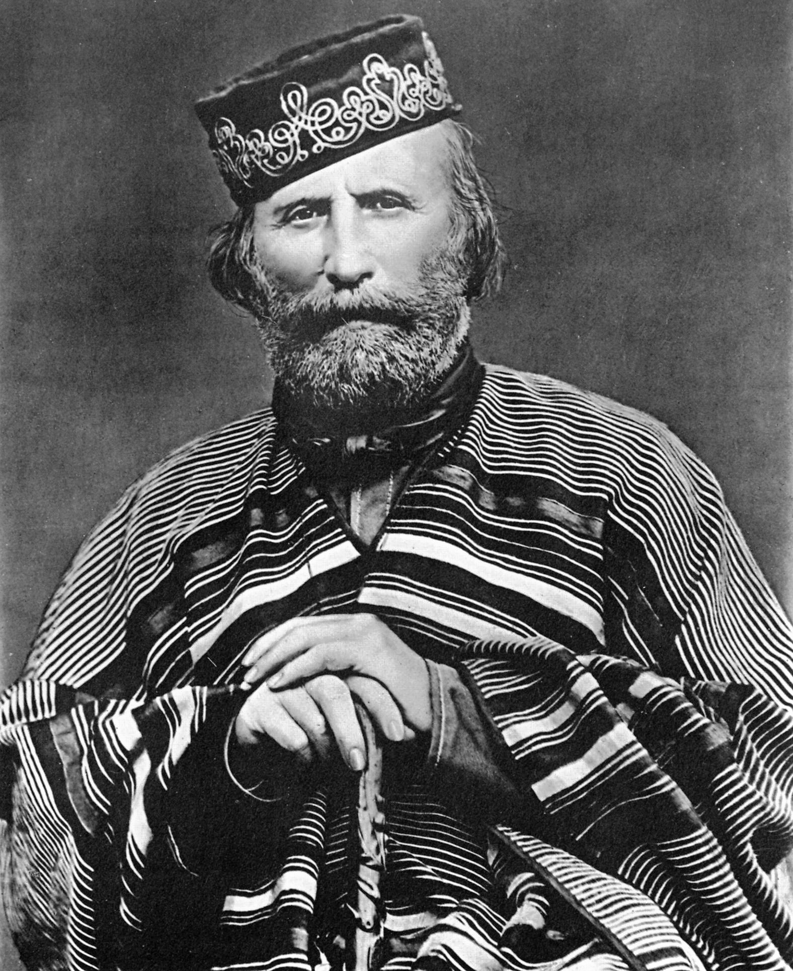
Giuseppe Garibaldi · circa 1867A figure of the Risorgimento introduces the transition from papal Rome to the capital of Italy.Image: Fratelli Alinari · Public domain. 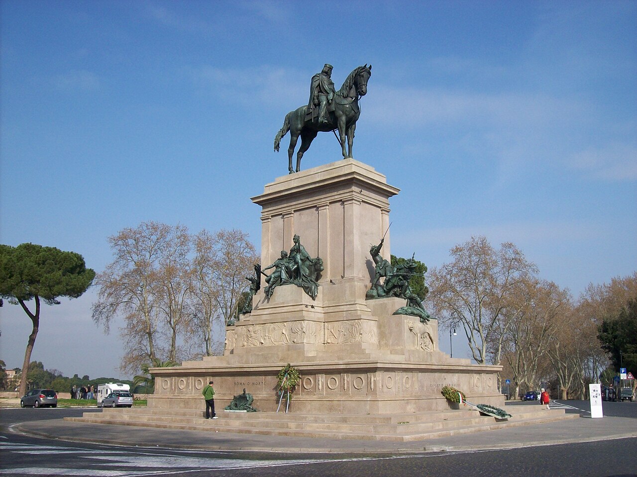
Gianicolo · Remembering GaribaldiThe hill associated with the defence of the Roman Republic in 1849 is home to the monument to Garibaldi, inaugurated in 1895.Photograph: 2011 · Blackcat · CC BY-SA 3.0 it. - 1873
The first proposal and the limits of planning
The 1873 plan represents an initial attempt to organise the transformation of the new capital. It does not receive final approval. However, some of its proposed developments are carried out through agreements. The proposal therefore has a tangible place in the city’s history, even though it never becomes a definitively approved plan.
Its story introduces a theme that will remain central to Rome for many years: the relationship between an overall vision and changes carried out through individual agreements and developments. Understanding the city requires us to follow both. A proposal on a map alone cannot tell us how or when a place was actually built.
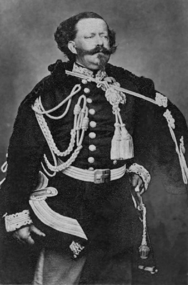
Vittorio Emanuele II · circa 1861The first king of united Italy accompanies the account of Rome’s new national role.Image: Eugène Disdéri · Public domain. 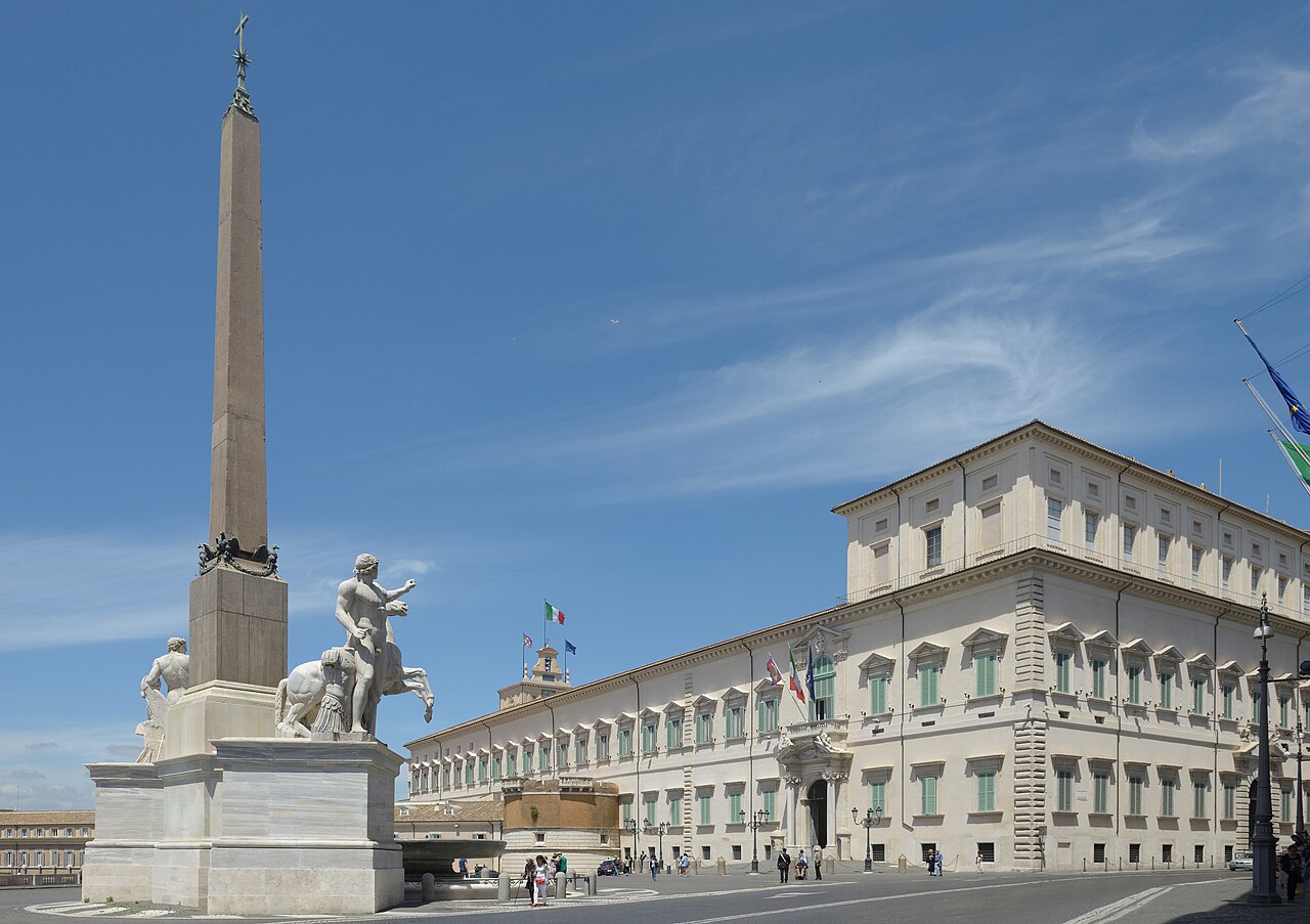
Il Quirinale · Rome under its first kingAfter 1870, the palace became the royal family’s residence. Vittorio Emanuele II transferred works of art and furnishings there from Italy’s royal palaces.Photograph: 2017 · Wolfgang Moroder · CC BY-SA 3.0. - 1883
The capital reshapes its streets
With the 1883 plan, the transformation of the city gains greater substance. Its effects can also be seen in the historic centre: the opening of Corso Vittorio Emanuele II and the creation of the Lungotevere embankment roads change routes, building frontages and the city’s relationship with the river. This legacy can still be seen in the relationship between Lungotevere dei Fiorentini and Corso Vittorio.
The new road network alters the old urban fabric, bringing existing buildings and new layouts together. Anyone looking at those streets today can recognise an essential feature of modern Rome: change takes place within a historic city, through adaptations that alter views, building lines and the continuity of spaces.
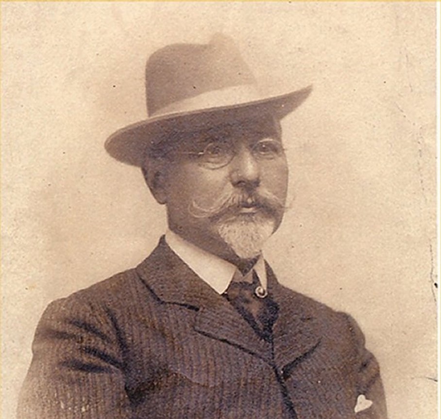
Ettore Roesler FranzThe artist behind Roma sparita depicted a city in the midst of change. Historical portrait; the date of the photograph is not given.Image: Finarts · CC BY-SA 4.0. 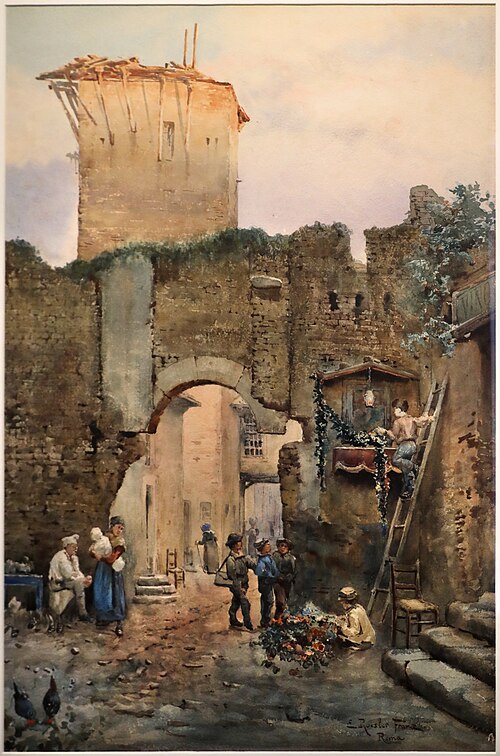
Trastevere · The Rome of Roesler FranzThe Torre degli Anguillara near Lungaretta, in one of his watercolours dating from before 1881: the artist’s view of a changing city.Photograph of the artwork: 2023 · Francesco Bini · CC BY-SA 4.0. - 1909
The city expands beyond the Aurelian Walls
The plan drawn up by Edmondo Sanjust di Teulada during Ernesto Nathan’s administration addresses the expansion of the built-up area beyond the Aurelian Walls. Its choices also concern ways of living: the plan distinguishes denser buildings, small villas with gardens and buildings set within larger green spaces. Expansion is envisaged through different forms of housing.
One example still recognisable today is Piccola Londra, on Via Bernardo Celentano, created in 1910 in the Flaminio neighbourhood. Its small villas illustrate one of the possibilities of that period. They do not represent a uniform outcome of the entire plan, but they help explain why early twentieth-century neighbourhoods display such different relationships between homes, gardens and streets.
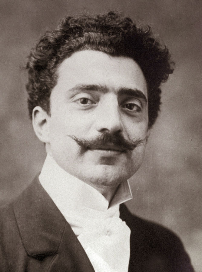
Trilussa · 1915A voice of Roman society in this period. The portrait dates from after the plan’s approval. 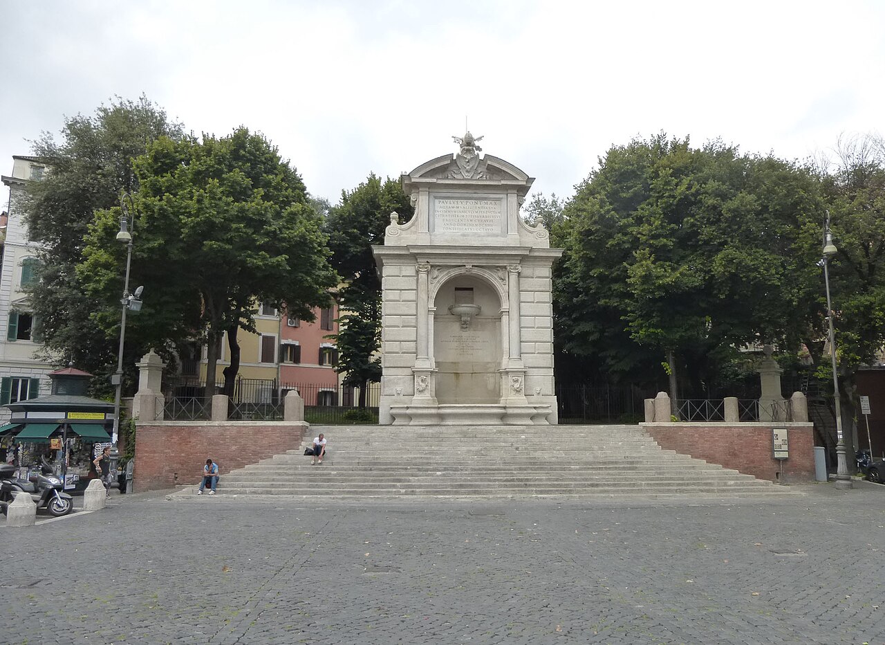
Piazza Trilussa · The poet in the cityThis square in Trastevere, formerly Piazza Ponte Sisto, has borne Trilussa’s name since 1952. The monumental fountain forms the backdrop to this place of public remembrance.Photograph: 2014 · Lalupa · CC BY-SA 4.0. - 1931
Transforming the centre and residential areas
The 1931 plan and its implementation instruments affect both residential areas and parts of the historic city. Detailed plans help define building types and the layout of numerous blocks; the contemporary urban master plan recognises their place in the history of the established city.
In the centre, the Mausoleum of Augustus demonstrates the scale of these choices. The 1931 plan and the detailed plan of 1932 provide for clearing the area around the monument and creating a new square. Demolition of the surrounding neighbourhood begins in 1934. The redevelopment continues in several phases, beyond the interruption caused by the war. Here, the planning vision involves replacing the existing urban fabric: the space we see today also results from the loss of earlier buildings and connections.
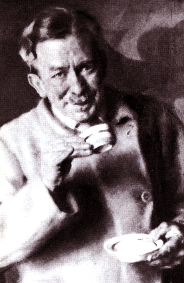
Giacomo Balla · 1926The artist, who lived on Via Oslavia, represents the cultural life of Rome in this period.Image: unknown · Public domain. 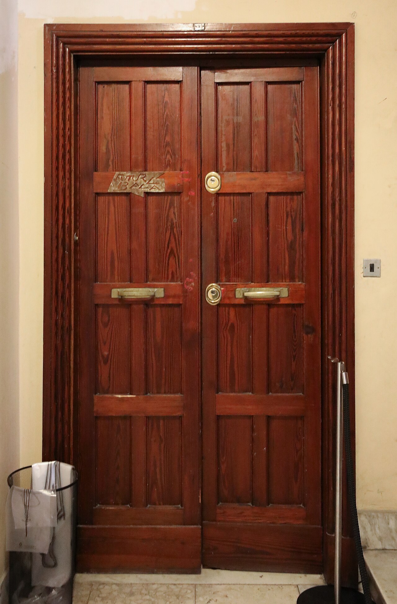
Via Oslavia · Casa BallaThe entrance to the home in the Della Vittoria neighbourhood where Giacomo Balla lived and worked from 1929 to 1958. His home tells of another way of shaping spaces.Photograph: 2025 · Francesco Bini · CC BY-SA 4.0. - 1962–1965
Reorganising a city that had grown
The plan adopted in 1962 and approved in 1965 emerges from the post-war debate on urban planning. Its themes include reorganising mobility, protecting the historic centre, decentralising administrative and business activities, and the Asse Attrezzato infrastructure corridor. Its ambition is to reshape the city’s structure by moving some functions towards the eastern sector.
The Sistema Direzionale Orientale is not built as envisaged, and the Asse Attrezzato is abandoned. The gap between proposal and outcome is also visible in Centocelle: buildings and a business district were planned for the former airport site, but the area is later designated as a park. It is an example of how a planning proposal can change over time, leaving a history that helps us understand the place as it is today.
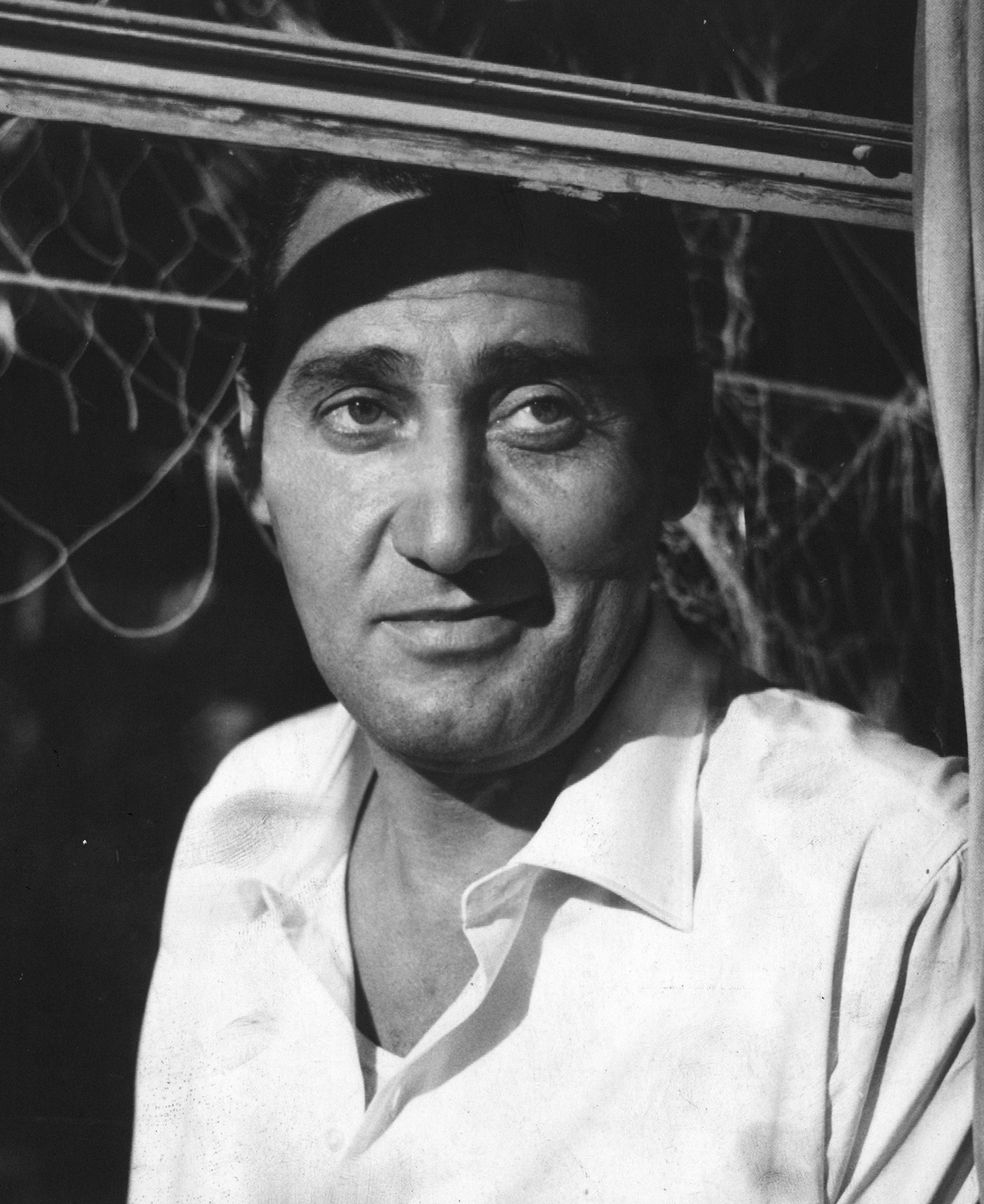
Alberto Sordi · 1962Sordi’s films accompany the image of a Rome growing and changing after the war.Image: unidentified author · Public domain. 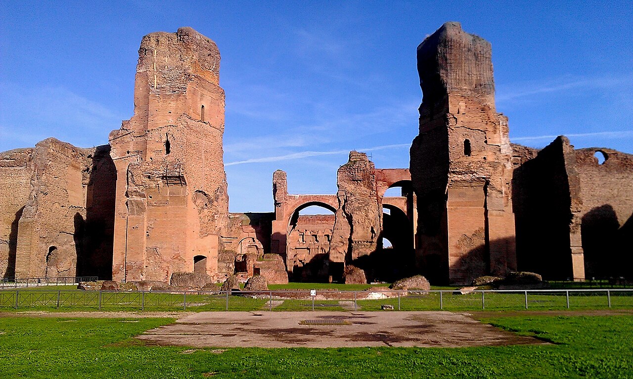
Caracalla · The Rome of Alberto SordiThe Baths of Caracalla stand opposite the villa where Alberto Sordi lived from 1958 to 2003. A view of an area connected with his life in Rome.Photograph: 2016 · Ethan Doyle White · CC BY-SA 4.0. - 2008
A city organised around several centres
The new urban master plan (PRG) is approved by City Council Resolution No. 18 of 12 February 2008 and comes into force on 14 March 2008. After more than forty years, the overall planning framework changes. Its principles include a metropolitan perspective, decentralisation, multiple urban centres, environmental and historical-cultural protection, and stronger functions for outlying areas.
The approach of multiple centres envisages a city with several focal points, with services and activities distributed across its territory. Connections to rail transport are part of this approach. These objectives offer a useful way of understanding neighbourhoods: a residential area must also be considered through its relationships with the rest of the city. However, the plan’s objectives must be distinguished from the extent to which they have been implemented in individual places.
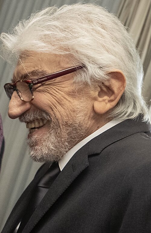
Gigi Proietti · 2020A voice of Roman theatre who was also active during the period of the 2008 plan. The portrait dates from 2020.Image: Presidenza della Repubblica · Quirinale.it · Reuse with attribution. 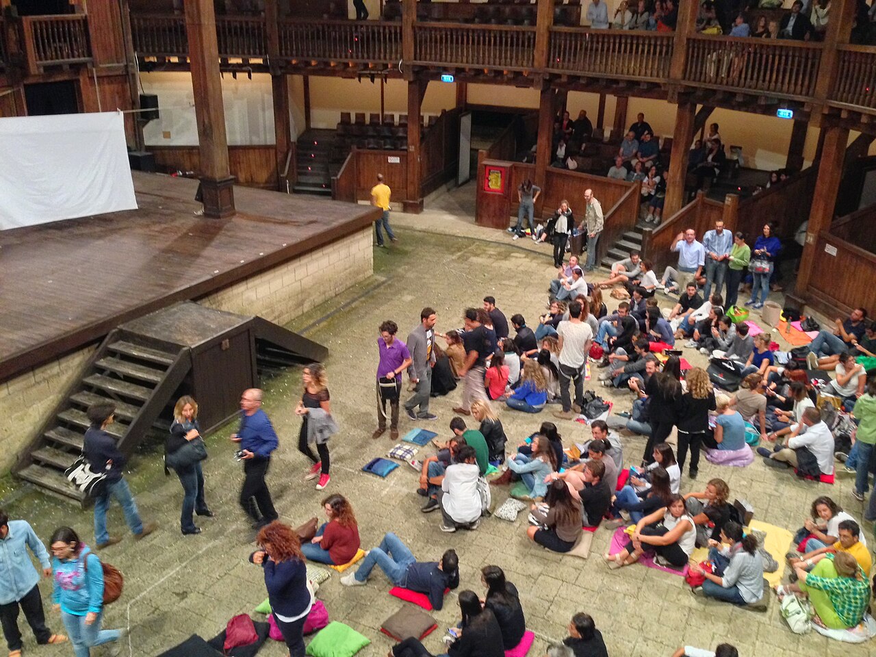
Villa Borghese · Proietti’s theatreThe Globe Theatre was conceived by Gigi Proietti and inaugurated in 2003. This view of the auditorium recalls an important chapter of his work in Rome.Photograph: 2014 · Archeologo · CC BY-SA 4.0. - 2024
The amendment to the planning rules is adopted
On 11 December 2024, the Capitoline Assembly passes Resolution No. 169, adopting a partial amendment to the Technical Implementation Rules (NTA) of the 2008 urban master plan. The reasons include difficulties of interpretation and application, changes in the legislative framework and the need to encourage the rehabilitation of existing buildings while limiting land take.
Adoption opens the process of publishing the documents, submitting comments and examining them. The reform therefore continues through a phase of consultation and assessment before final approval in 2026.
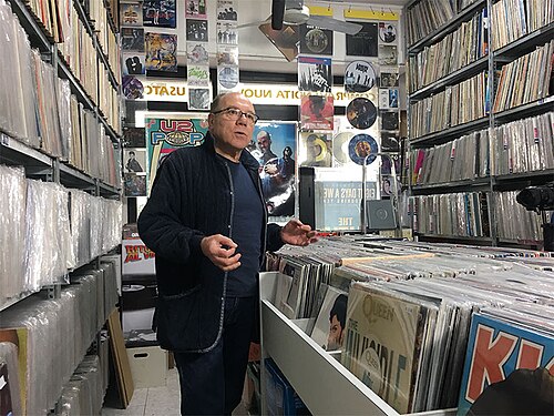
Carlo Verdone · 2018A cinematic view of Roman life. The portrait predates the 2024 amendment to the planning rules.Image: Wiki-VincenzoRusso · CC BY 4.0. 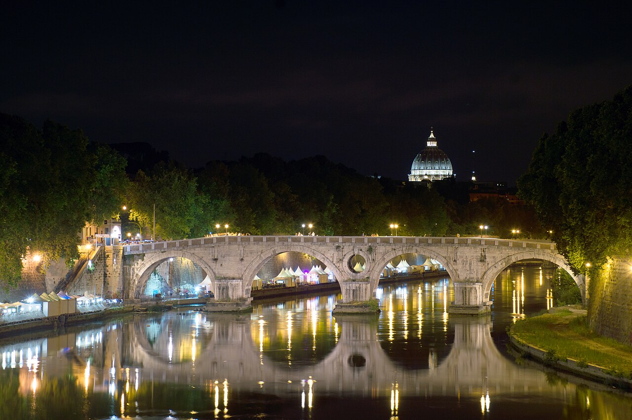
Ponte Sisto · The Rome of memoriesA place connected with Carlo Verdone’s childhood and youth through his family home, described in La casa sopra i portici.Photograph: 2015 · Livioandronico2013 · CC BY-SA 4.0. - 2026
The amendment receives final approval
On 23 July 2026, the Capitoline Assembly passes Resolution No. 122, containing the responses to comments and final approval of the partial amendment to the Technical Implementation Rules (NTA). This updates the regulatory framework of the 2008 urban master plan: it does not constitute approval of a new general plan. The stated reasons include alignment with national and regional provisions, simplification and urban regeneration objectives.
On 28 August 2026, Roma Capitale announces the availability of the consolidated text, bringing together the 2008 rules and the approved changes. This process thus links the 2008 plan, the adoption of the amendment in 2024 and its final approval in 2026. The effects of these provisions on a specific property require a separate planning assessment.
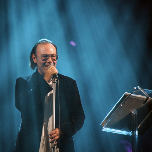
Antonello Venditti · The voice of the cityRome told through music, places and people’s lives.Photograph: 2008 · Iltex74 · Public domain. 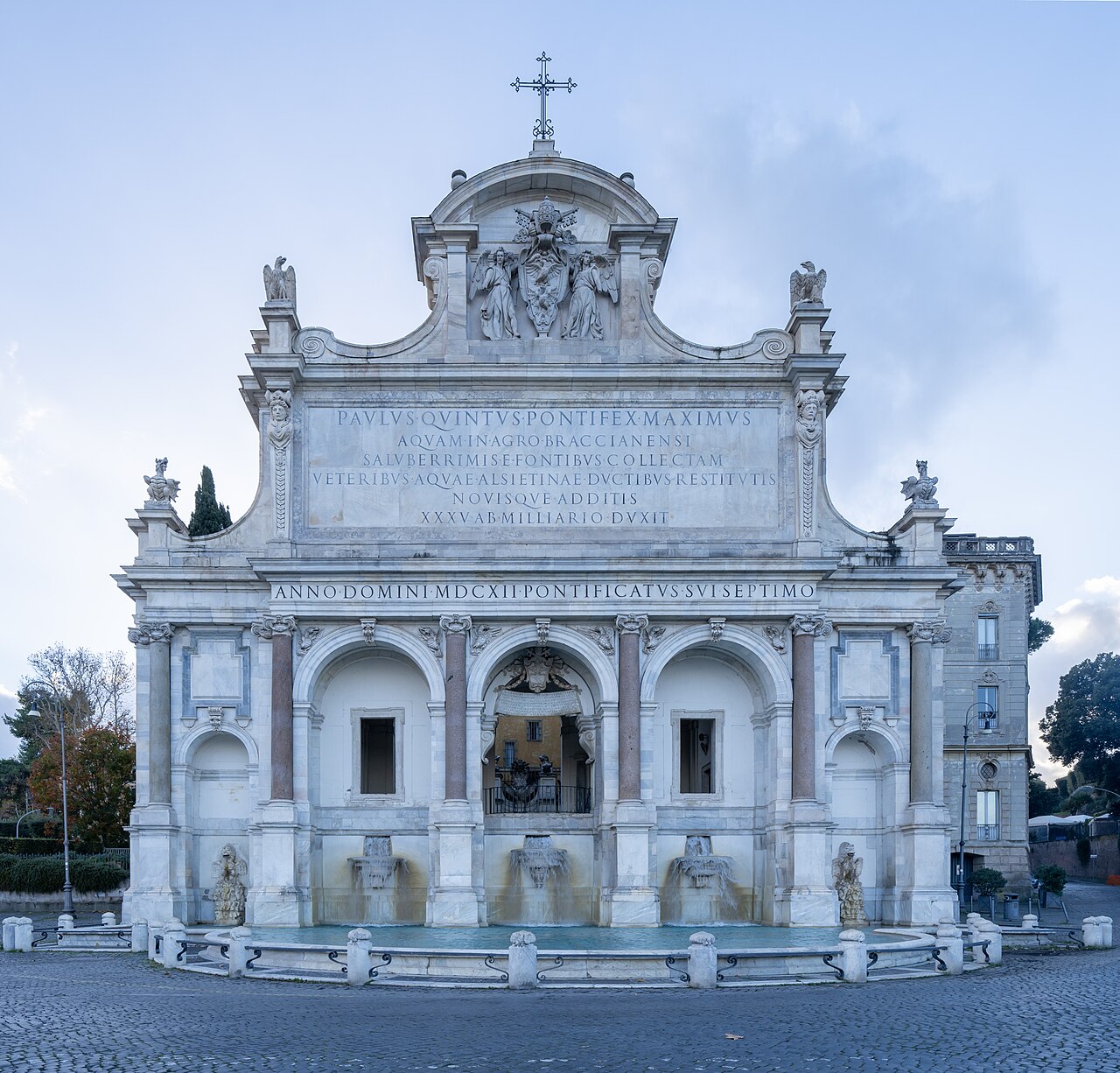
Il Fontanone · The Rome of VendittiThe monumental Acqua Paola fountain on the Gianicolo, the Fontanone mentioned in Roma capoccia, connects a place in the city with Antonello Venditti’s voice.Photograph: 2023 · Labicanense · CC BY 4.0.
Understanding neighbourhoods to understand a home
The history of urban master plans makes Rome’s diversity easier to read. It helps us recognise streets opened within the historic city, small villas from the early twentieth century, residential blocks and areas involved in projects that were later revised. Today’s city emerges from proposals, completed developments, revisions and interventions that do not always follow the same course.
For ClouCasa®, this knowledge can become a way to guide visitors: providing information to help them understand a home’s setting and ask more precise questions. A property’s value then requires an analysis of its characteristics and specific circumstances. The history of the neighbourhood contributes to this understanding without replacing checks on the building itself.